
A CITYDATA fornece inteligência de mobilidade para agências governamentais,
estabelecimentos comerciais, cidades inteligentes e operadoras de mobilidade. A
plataforma CITYDATA possui dados de mais de 1.500 cidades ao redor do mundo,
sendo
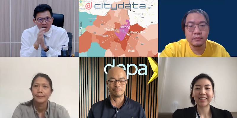
Yala Province Municipality has the distinction of being the first administrative
zone in Thailand to harness the power of mobility big data and movement
intelligence to control the spread of COVID-19.
On August

HO HO HOLIDATA! It’s that time of the year again. In the spirit of giving, we’re
offering everyone free access to mobility data insights for the next 4 weeks
until January
2021 was a stellar year at CITYDATA [https://citydata.ai]. We became the leading
provider of mobility intelligence for smart cities. Our data + Ai platform
evolved into a collection of apps, SDKs, APIs

> This blog posts delves into the mobility data and trip hop movement patterns for
one of the largest metropolitan region in Australia.
> Sign up for our webinars to learn from our

> This blog posts delves into the mobility data and trip hop movement patterns for
the largest metropolitan region in Australia.
> Sign up for our webinars to learn from our data scientists

This blog post dives deep into how local government can leverage high-quality mobility big data and AI/ML for inferring visits to parks and open spaces and the dispersion movement patterns
Sign up

> This blog posts delves into the mobility data and trip hop movement patterns for
one of the largest metropolitan regions in Europe.
> Sign up for our webinars to learn from our

> This blog posts delves into the mobility data and trip hop movement patterns for
one of the largest metropolitan regions in Europe.
> Sign up for our webinars to learn from our

> This blog posts delves into the mobility data and trip hop movement patterns for
one of the fastest growing metropolitan regions and the next hot tech hub in the
United States.
>
> This blog post delves into the relevance of GPS-based mobility datasets sourced
from telecommunications carriers and mobile operators for solving real-world
problems.
> Sign up for our webinars to learn from our

> This blog post is published in both English and Spanish.
> ESPAÑOL: Esta entrada de blog se adentra en los datos de movilidad y los
patrones de movimiento de disparo salto para