
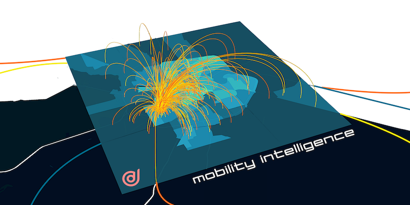
Happy Holidata : 1 Month Free Mobility Insights
HO HO HOLIDATA! It’s that time of the year again. In the spirit of giving, we’re offering everyone free access to mobility data insights for the next 4 weeks until January
HO HO HOLIDATA! It’s that time of the year again. In the spirit of giving, we’re offering everyone free access to mobility data insights for the next 4 weeks until January
2021 was a stellar year at CITYDATA [https://citydata.ai]. We became the leading provider of mobility intelligence for smart cities. Our data + Ai platform evolved into a collection of apps, SDKs, APIs
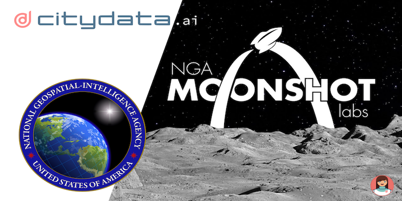
The United States Government, National Geospatial-Intelligence Agency (NGA) provides geospatial intelligence (GEOINT) in support of the U.S. military, allies, and homeland security organizations. The analysis of satellite imagery and geospatial data to

CITYDATA.ai [https://citydata.ai], the #1 company for mobility data intelligence for over 1500 global cities announced today their partnership with Autotraffic, Mexico’s #1 company for traffic management, and with Vixionere,

> This blog posts delves into the mobility data and trip hop movement patterns for one of the largest metropolitan region in Australia. > Sign up for our webinars to learn from our

> This blog posts delves into the mobility data and trip hop movement patterns for the largest metropolitan region in Australia. > Sign up for our webinars to learn from our data scientists

> This blog post provides a comprehensive list of defined terms related to mobility data and geospatial intelligence for civic use cases > Sign up for our webinars to learn from our data
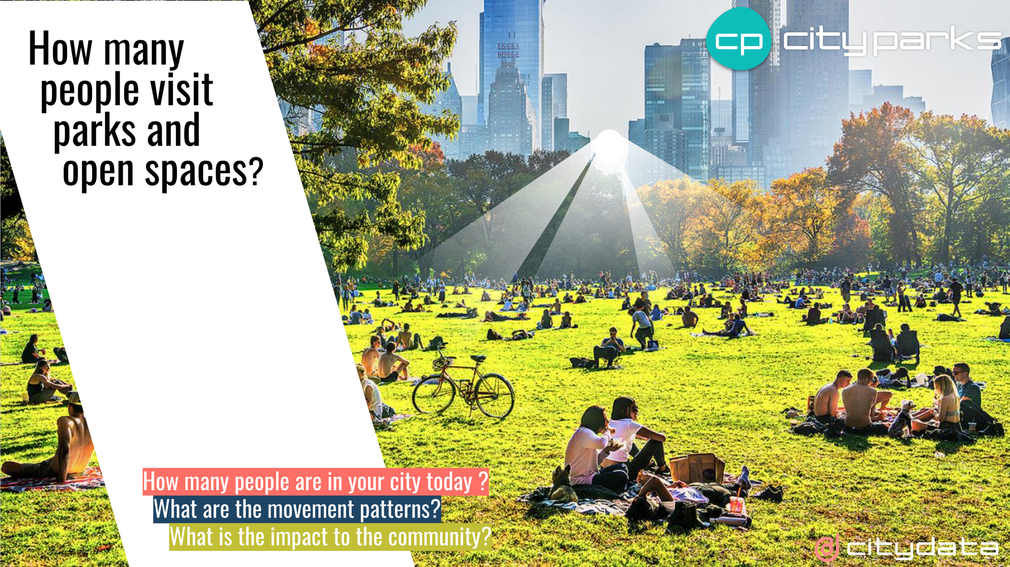
This blog post dives deep into how local government can leverage high-quality mobility big data and AI/ML for inferring visits to parks and open spaces and the dispersion movement patterns Sign up
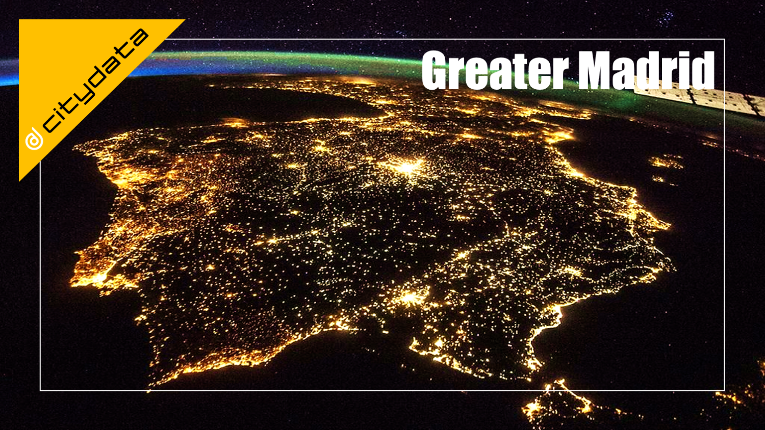
> This blog posts delves into the mobility data and trip hop movement patterns for one of the largest metropolitan regions in Europe. > Sign up for our webinars to learn from our
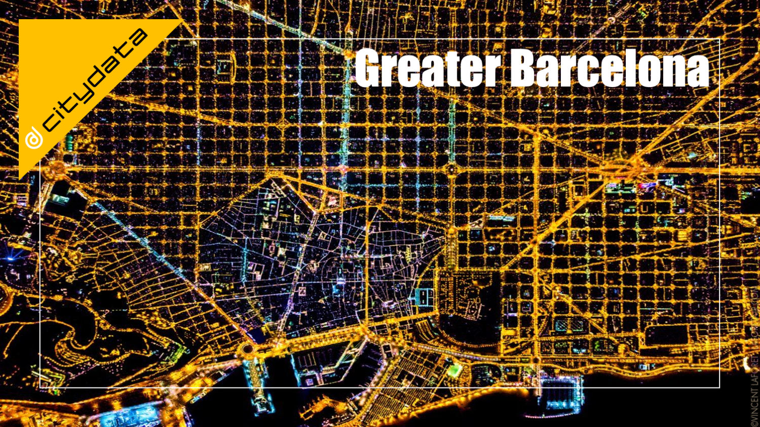
> This blog posts delves into the mobility data and trip hop movement patterns for one of the largest metropolitan regions in Europe. > Sign up for our webinars to learn from our

> This blog posts delves into the mobility data and trip hop movement patterns for one of the fastest growing metropolitan regions and the next hot tech hub in the United States. >
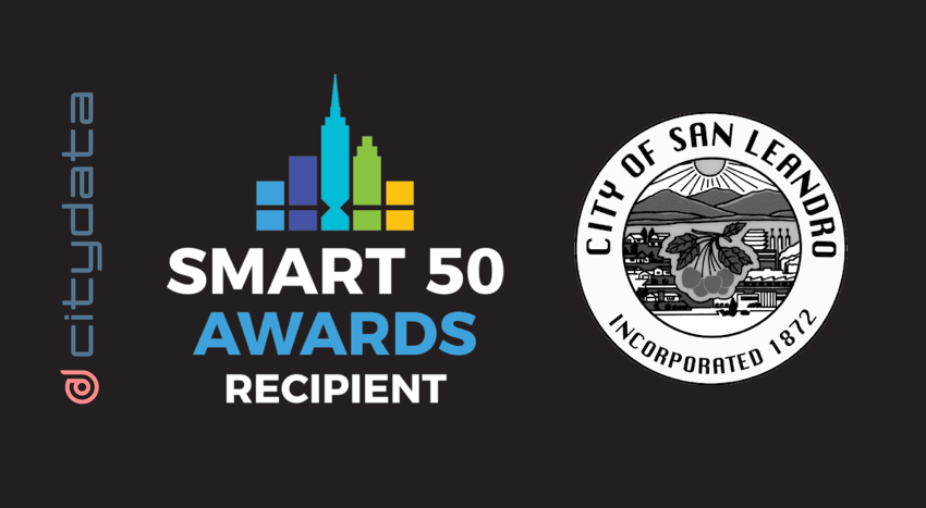
Smart Cities Connect (SCC) announced the Smart-50 Awards on for 2021 to recognize the 50 best projects for smarter cities. 2021 Smart 50 Awards [https://smartcitiesconnect.org/announcing-the-2021-smart-50-award-recipients/] were announced on May 24,