When the going gets tough, Camels outlast Unicorns
The Bactrian Camel isn't pretty to the conventional eye. With two oddly large
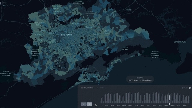
This blog posts delves into the mobility data and trip hop movement patterns for one of the largest metropolitan regions in the United States.
Sign up for our webinars to learn from our data scientists and geospatial experts. They will show you how geospatial intelligence can be used in the most cost-effective way to measure and analyze movement patterns.
The Greater San Francisco Bay area which stretches across 12 contiguous counties from Sacramento to San Jose, spans 6966 square miles, and hosts 9.56 million people, is one of the largest metropolitan mega regions on the west coast of the United States.
CITYDATA holds fresh, accurate, anonymized, crowdsourced mobility data for approximately 5 million devices in the Greater San Francisco Bay area.
With the changes in people-behaviors due to COVID-19, municipalities, transportation agencies, and academic researchers are in need of a reliable baseline for measuring the variations in mobility patterns over time.
September tends to be the preferred month for baselining mobility data. To that end, we have computed the mobility trip hops for the Greater San Francisco Bay Area for the month of September. The video at the below link shows the mobility patterns for 5000 devices and 811000 trip hops, visualized with a time series animation powered by kepler.gl.
Reach out to us if you'd like to access the mobility datasets with trip hops for any of the top 1000 cities and metro areas in United States, Canada, Mexico, Brazil, Argentina, Colombia, Chile, Peru. Our mobility patterns are available for all cities, districts, states, and countries in the Americas.